Base map: USGS/Census geography. Colored areas are curated guide travel zones and dashed lines show the general routes. Hover or keyboard focus to find pin names. Defunct listings are excluded.
MAP DATAUSGS The National Map supplies terrain, names and base transportation. Census TIGERweb reinforces primary/secondary road geometry. Defunct guide listings are excluded from active maps. Colored guide regions are curated travel-zone overlays; route lines connect each route’s mapped stop centers. Blue daytime-space pins identify museum and planetarium facilities rather than observing sites. Featured program pins use the operator’s published meeting-location coordinates.
FIRST BRANCH / PICK A PART OF THE STATE
Think road zones, not hard borders.
Several regions intentionally overlap around Denver because that is where many visitors begin and where the major roads split east, west, north and south. Farther away, geography wins: Durango anchors the Four Corners, Alamosa anchors the San Luis Valley, and Steamboat makes more sense for the northwest.
Denver is the natural eastern gateway, then the road splits into Summit County, the Arkansas Valley and higher mountain country. State Forest State Park forms a deliberate northern overlap with the Front Range and Northwest regions.
Route 4 uses the practical northeast branch from Boulder through Jackson Lake and Pawnee before finishing at Madison-Macdonald Observatory. John Martin, Kim and Comanche remain worthwhile southeast-plains destinations, but they are separate trips rather than stops on Route 4.
GATEWAYBoulder / Front Range
REGIONAL HUBFort Morgan northeast / Pueblo southeast
The long Front Range spine: Fort Collins, Boulder and Denver in the north; Colorado Springs and Pueblo through the middle; Trinidad at the southern edge, with observatories, planetariums, museums and foothill stops branching off the I-25 corridor.
GATEWAYFort Collins / Denver / Trinidad
REGIONAL HUBDenver, with Colorado Springs for the south end
Steamboat Springs is the main eastern gateway to this region, with State Forest State Park intentionally overlapping from North Park. From there the road runs west and northwest into reservoirs, high basins, Craig, Dinosaur country and the exceptionally dark BLM lands of northern Moffat County without pulling the map back toward the Front Range cities.
Colorado Springs and Pueblo form the northern approach, with Browns Canyon as an intentional overlap into the Arkansas Valley. Alamosa becomes the real hub once the road crosses into the valley, with Zacheis Planetarium as a daytime astronomy stop before the sky opens around the dunes, hot springs and Sangres.
This region does not need to bend back toward Denver. Durango is the natural launch, with Cortez and Pagosa Springs taking over for the western and eastern sides of the Four Corners road.
Breckenridge is the eastern edge of this region. From there the useful hubs move west to Gunnison, Montrose, Grand Junction and the Roaring Fork Valley, with the Lake City high country holding some of the darkest mountain sky in the guide.
GATEWAYBreckenridge
REGIONAL HUBGunnison / Montrose, with Grand Junction for the far west
These are the active places that form the official Colorado Stargazing Trail. Each card carries the star marker so official trail status stays visible inside the larger statewide directory.
TRAIL 01Checked 2026-08-16
★Official Stargazing Trail stop
International Dark Sky Park
Black Canyon of the Gunnison National Park
Western Slope
WHAT KIND OF NIGHT?
An International Dark Sky Park with North Rim and South Rim viewing areas and seasonal ranger astronomy programming.
An International Dark Sky Park where the official trail and NPS both emphasize the dunefield, moonlight, dark-sky viewing and seasonal evening programs.
A North Fork Valley International Dark Sky Community with local lighting work, astronomy outreach and dark-sky events, plus seasonal camping at nearby Paonia State Park for travelers who want an overnight base.
A San Juan gateway and International Dark Sky Community with in-town viewing guidance, nearby Top of the Pines, and Ridgway State Park as a separate camping and occasional astronomy-program base.
These active places are not part of the official trail. They are included because they add useful observing sites, astronomy facilities, lodging, camping, programs or practical stops to a Colorado night-sky trip.
A perfect Front Range entry point to the trail: use Fiske Planetarium and AstroTours.org for a cosmic tune-up before heading into Colorado's darker skies.
A high-country Colorado Trail and Willow Creek area where the supplied Light Pollution Map point models an exceptionally dark sky, but access is a serious hike-in objective rather than a roadside stop.
A large Forest Service grassland in southeast Colorado with broad public-land recreation, but no single official stargazing site identified by the agency.
Dark-sky gateway to named Forest Service campgrounds
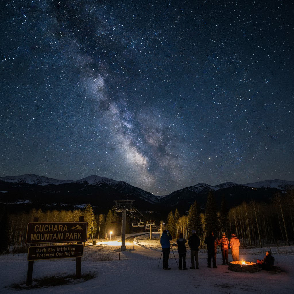
Cuchara Gateway / Bear & Blue Lakes
Spanish Peaks / Cuchara
WHAT KIND OF NIGHT?
Cuchara is the gateway, not the observing pin. The useful night-sky bases are Bear Lake and Blue Lake campgrounds west of town, where legal overnight camping can support stargazing when seasonal roads and campground access are open.
A South Park reservoir with 326 campsites and broad open country; ordinary park hours end at 10pm, making camping the clearest deep-night access model.
A nonprofit Western Colorado observatory built around remote astrophotography, telescope hosting, research-grade equipment and education rather than casual drop-in tourism.
A tiny community on the western edge of Comanche National Grassland, useful as a geographic reference for very remote southeast Colorado rather than as a developed stargazing attraction.
A Berthoud public observatory with multiple telescopes, reservable group visits and a recurring public-star-night tradition. Multiple 2026 public nights are independently verified, although the observatory's own reservation page still contains stale 2025 scheduling text.
A dramatic high-elevation US 6 pass that can provide a mountain night-sky detour, but it remains an active highway subject to weather, traffic and temporary closures.
Colorado State University's public observatory offers free evening viewing on the second and fourth Fridays from April through November, weather permitting.
A vast, mostly BLM-administered corner of northwest Moffat County where modeled zenith darkness still reaches Bortle 1, but oil-and-gas development makes this the Colorado Stargazing Trail's most immediately threatened pristine-sky landscape.
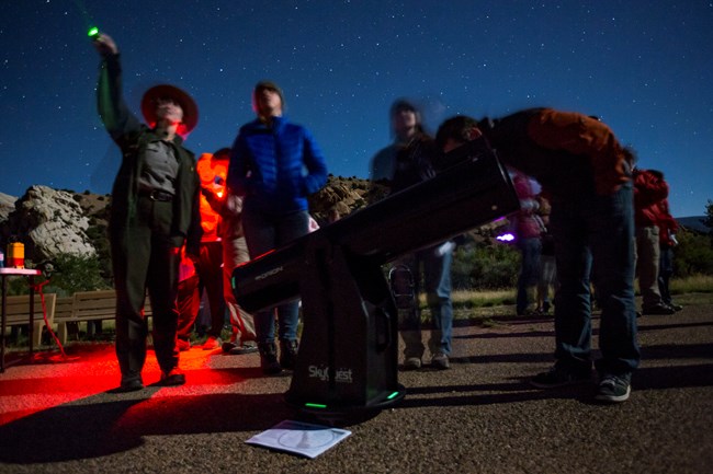
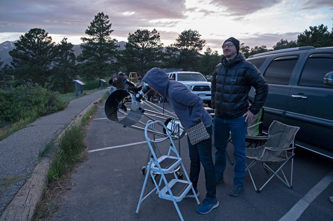
Rocky Mountain National Park ran 2026 Astronomy in the Park programs at the Bear Lake Road Park & Ride with ranger interpretation and volunteer telescopes.
A 70,932-acre North Park state park with year-round camping, cabins and yurts; CPW explicitly includes stargazing among activities available from its yurt basecamps.
Orient Land Trust combines Valley View Hot Springs with a dedicated astronomy-host program and a 20-inch telescope under the San Luis Valley sky. The entire property is clothing-optional.
These are indoor or daytime stops that help you understand the sky, astronomy and space exploration before the night begins. Their blue map pins are intentionally separate from observing sites and ordinary guide additions.
DAY 01Daytime space stop
DAYTIME SPACE STOP
Space gallery + Gates Planetarium
Denver Museum of Nature & Science — Space Odyssey
Denver / Front Range
WHY IT HELPS BEFORE DARK
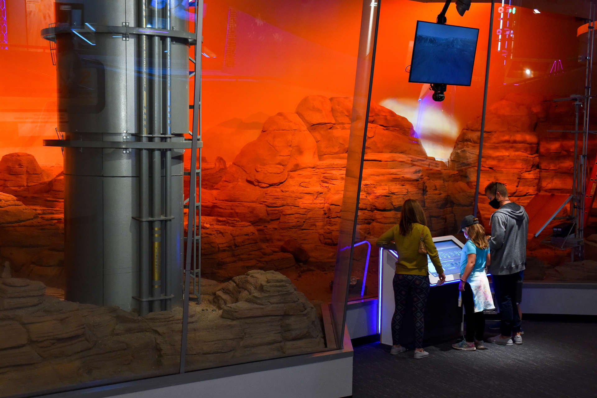
A Denver cosmic tune-up built around the Space Odyssey gallery and Gates Planetarium, with hands-on astronomy, planetary science and spaceflight interpretation under one roof.
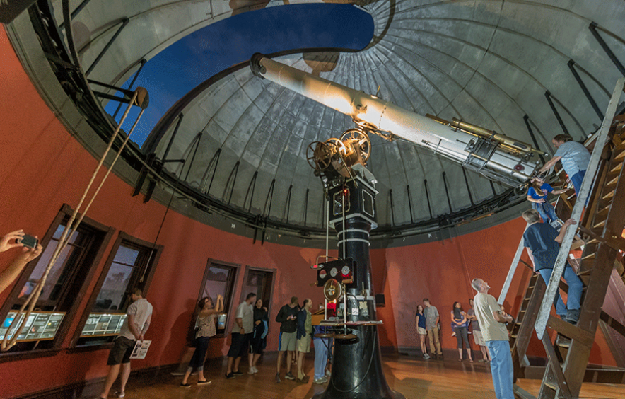
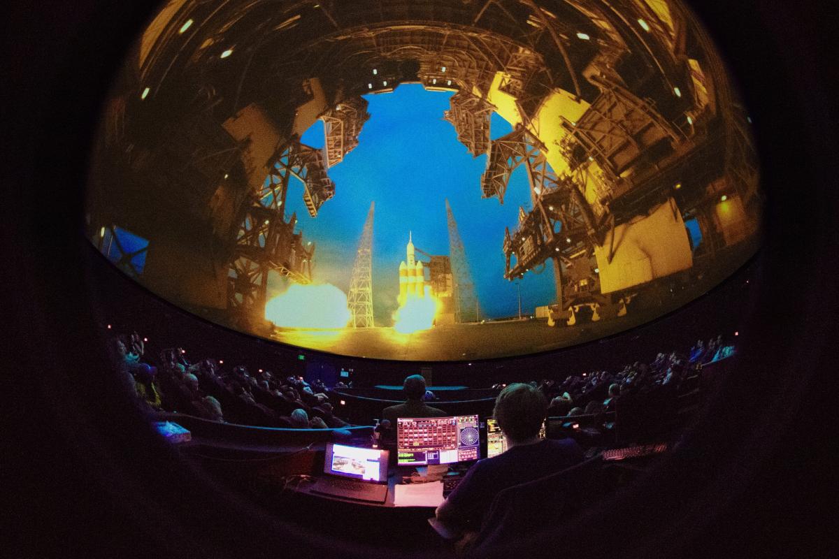
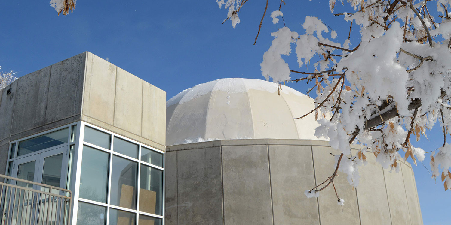
One of Colorado's strongest pre-stargazing orientation stops: a 65-foot planetarium dome with live astronomy shows, seasonal Colorado Skies programs and immersive space-science programming.
Fort Collins Museum of Discovery — OtterBox Digital Dome
Fort Collins / Front Range
WHY IT HELPS BEFORE DARK
Northern Colorado's 360-degree digital dome pairs planetarium shows with space programming, making it a useful astronomy stop before a Front Range night outside.
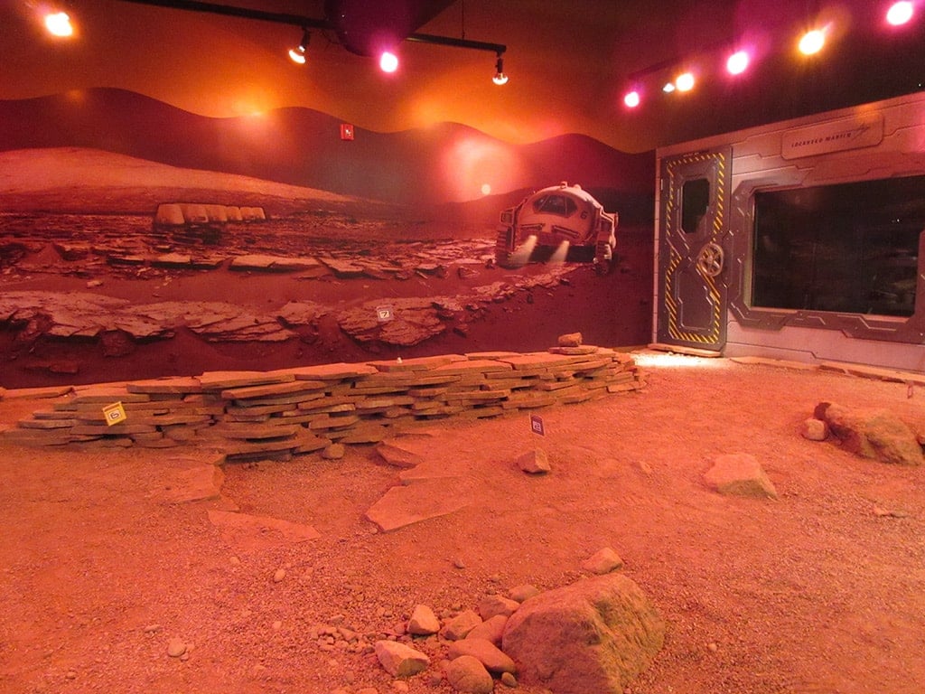
A useful Colorado Springs cosmic tune-up: an interactive space museum with Science On a Sphere, Mars robotics, space artifacts and hands-on technology labs before you head out for the night sky.
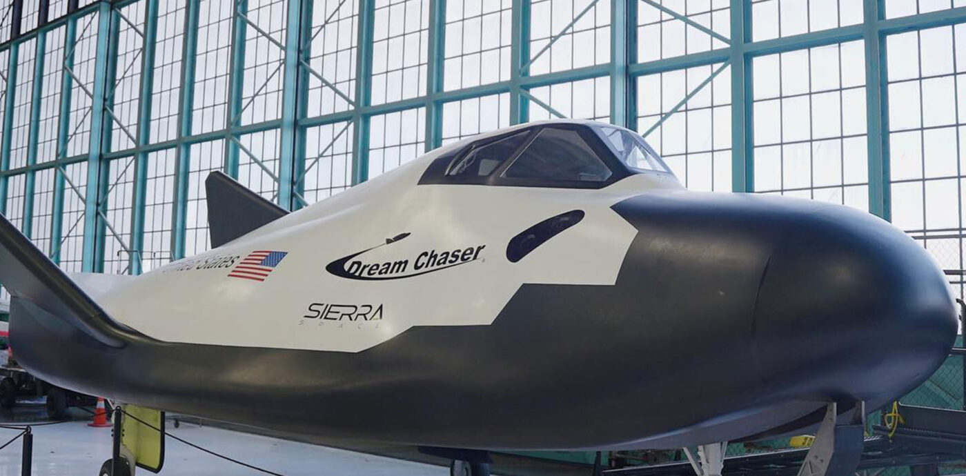
A Denver spaceflight stop with spacecraft and space artifacts, an Apollo 15 Moon rock and a dedicated set of Exploring Space exhibits inside the former Lowry Air Force Base hangar.
Adams State University's full-dome planetarium in Alamosa is an unusually useful San Luis Valley astronomy stop, with free public presentations and campus astronomy outreach before a night under the valley sky.
These records stay visible for transparency, but they are excluded from active maps, route planning and regional recommendations. A defunct tag can mean the astronomy program ended, public access could not be verified, the listing is outside Colorado, or the place did not justify a standalone stargazing stop. The underlying park, business or property may still be open.
ARCHIVE 01Archived
DEFUNCT / PRIVATE GLAMPING, NOT A PUBLIC STOP
Private night-sky glamping
C Lazy U Ranch
Granby
WHY IT IS ARCHIVED
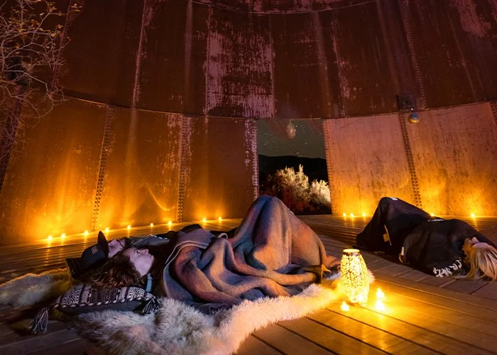
C Lazy U Ranch and its seasonal luxury camping remain active, but this listing is archived because the night sky is part of a guest-only private glamping experience rather than a distinct public astronomy destination or guided telescope program.
The park remains open, but it is archived as a standalone stargazing stop because its astronomy case is built mainly around occasional organized star parties rather than a distinctive, continuously useful observing destination.
Highline Lake remains an operating state park, but it is archived from the active stargazing directory because its main value here was reservable camping, not a distinctive astronomy site, standing program or exceptional dark-sky destination.
Ouray KOA Holiday remains an operating campground, but the guided stargazing program that justified this guide listing has been verified as no longer available.
Former astronomy park listing / public operation not verified
Southern Colorado Astronomical Park
La Veta
WHY IT IS ARCHIVED
Colorado Tourism still repeats the Southern Colorado Astronomical Park as a La Veta stargazing destination, but current public entrance, hours, visitor instructions and active programming could not be verified. It remains quarantined until public operation can be confirmed.
Staunton remains an operating state park, but it is archived as a standalone stargazing stop because the verified case was essentially year-round camping near Denver, with no current dedicated astronomy program or distinctive observing site.
Former stargazing experience / active lodging property
The Nest at Black Hawk
Black Hawk / Central Mountains
WHY IT IS ARCHIVED
The Nest lodging property remains open, but the organized stargazing experience that justified this guide listing has been verified as no longer available.
Trinidad Lake remains an operating state park with camping, but it is archived as a standalone stargazing stop because its strongest astronomy case is occasional scheduled star parties rather than a distinctive permanent observing destination.
Archived from the active Colorado guide because Cielo Centro is in New Mexico and its dedicated public observatory is still under development rather than operating as a standing visitor destination.