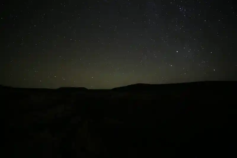
What makes this place special
Northwest Moffat County combines two things that rarely overlap in Colorado: modeled Bortle 1 darkness near the natural-background limit and a landscape where future industrial lighting could materially change the view. The zenith can still be extraordinarily dark while energy infrastructure is already part of the surrounding country.
The guide uses Colorado's most endangered pristine dark-sky site as an editorial watch label for that tension. It is not an official BLM or DarkSky International classification. Unlike the guide's other Bortle 1 references, this landscape already contains a long-established oil-and-gas footprint and is seeing renewed leasing and directional-drilling interest.
Compare it with Kim / Southeast Colorado dark country and the Colorado Trail / Willow Creek Bortle 1 point. Those places have their own access and conservation issues, but neither currently sits inside the same concentration of active and potential energy infrastructure that defines northern Moffat County.
It is still Bortle 1. That does not mean the risk is theoretical.
Current Light Pollution Map modeling can still put the darkest parts of this region at roughly SQM 21.9–22.0 mag/arcsec², which is genuine Bortle 1 territory. The zenith can remain almost perfectly natural even while scattered industrial lights begin to appear along the horizon.[2]
That distinction matters here. A compressor station, illuminated pad, tank battery or work site can damage dark adaptation and create a local light dome before a broad satellite-derived zenith model changes enough to push the whole area into another Bortle class.[2]
Why this sky is under pressure now
Oil and gas are not new to northwest Moffat County. The Powder Wash, Hiawatha and nearby fields have been developed in multiple periods since the mid-20th century.[3]
What makes the present moment important is renewed federal leasing and drilling interest. In its December 2025 Colorado oil-and-gas lease environmental analysis, BLM identified 31 parcels totaling about 28,146 acres in northern Moffat County near the Hiawatha Deep, Pilgrim and Powder Wash units. BLM also noted that recent drilling in this northern Moffat area is directional.[3]
For environmental-impact analysis, BLM modeled a reasonably foreseeable development scenario for those northern Moffat parcels of up to 58 well pads and 174 directional wells. That is an analytical scenario, not a statement that 174 wells will definitely be drilled, and leasing itself does not authorize drilling. Operators still need subsequent approvals before surface development can occur.[3]
The significance for stargazing is that even a fraction of that development, if accompanied by persistent poorly shielded lighting, could change a landscape that currently sits near the natural night-sky limit.[3]
Bortle 1 → "1.5" → 2
The formal Bortle scale uses whole-number classes, so Bortle 1.5 is not an official class. Here it is useful only as shorthand for what may happen first: a site that still has a Bortle 1-quality zenith but is beginning to lose the completely pristine 360-degree horizon that makes the best dark-country sites extraordinary.[3]
That is the stage parts of northwest Moffat County may be approaching. The sky overhead can still be Bortle 1 while local industrial sources make the experience feel more like "Bortle 1 with encroaching light."[3]
If new pads, processing equipment and support facilities add enough persistent nighttime lighting, parts of this landscape could eventually move into Bortle 2 conditions. There is not enough evidence to assign a defensible date or say that Bortle 2 is inevitable, but this is the Bortle 1 area in this guide where that transition appears most plausible on a development timescale rather than a distant urban-growth timescale.[3]
Mostly public land, but not every acre is yours to use
The BLM Little Snake Field Office administers about 1.3 million acres of public land and about 1.1 million acres of federal subsurface minerals across Moffat, Routt and Rio Blanco counties. Much of the dark country in northwest Moffat is BLM-administered, but the landscape is a patchwork that also includes state and private parcels.[3]
Use the BLM travel-management information and current land-status maps to choose a legal route and a durable place to stop. Do not assume that every road, pad or open-looking piece of ground is public recreation land.[3]
Land manager: Bureau of Land Management, Little Snake Field Office — blm.gov/office/little-snake-field-office[3]
Travel planning: BLM Little Snake travel management — blm.gov/programs/recreation/recreation-programs/travel-…[3]
Stay well away from gas operations
This page deliberately does not publish a single "darkest pixel" as a destination. The point is the broad BLM landscape, not an exact coordinate near industrial infrastructure.[3]
Do not enter, park on or set up a telescope at active well pads, compressor stations, tank batteries, pipeline facilities, fenced sites, gated industrial roads or work areas. Keep clear of operating equipment and vehicle traffic, obey all signs and closures, and never use open flame or smoke around oil-and-gas facilities.[3]
The safest model is to choose an established public route or legal BLM recreation/camping area that is well separated from industrial operations, then confirm current road, fire, weather and seasonal-closure conditions before driving out after dark.[3]
What is at stake
Kim and Willow Creek show what a genuinely pristine Colorado sky can still look like when the surrounding landscape contributes almost no artificial light. Northwest Moffat County still has that same astronomical potential, but the night here is sharing the landscape with an industrial use that can expand quickly once leases become development projects.[3]
That makes this place worth watching now, while Bortle 1 is still the correct description, rather than documenting the loss after the map has already changed.[3]
Sources
- [1]
Photo: AstroTours.org
- [2]
Light Pollution Map — lightpollutionmap.info
- [3]
Bureau of Land Management, Colorado Quarter 4 (December) 2025 Oil and Gas Lease Sale, Final Environmental Assessment — eplanning.blm.gov/public_projects/2036196/200640567/201…
- [4]
- [5]