Colorado's official visitor site
Colorado.com describes Kim as “located on the western reaches of Comanche National Grassland.”[2]
Its town page emphasizes the surrounding short-grass prairie, remote unpaved-road network and nearby Picture Canyon and Carrizo Canyon. It does not present Kim itself as a developed astronomy attraction or designate a specific nighttime viewing site.[2]
What the Forest Service contributes
The U.S. Forest Service is the relevant direct source for recreation on Comanche National Grassland. Use its current recreation and closure information to choose an actual public-land destination rather than treating the whole region as an informal roadside observing area.[3]
What the darkness data contributes
Light Pollution Map data is useful for identifying unusually dark portions of southeast Colorado around and south of Kim, but it is a sky-brightness model, not an access map. A dark pixel can still be private land, an unsafe road shoulder or a location closed to nighttime use.[4]
Sources
- [1]
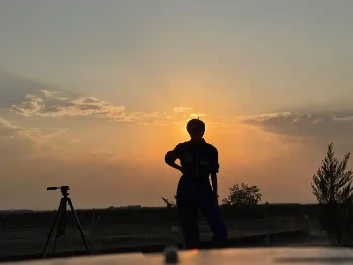
Photo: AstroTours.org
- [2]
Colorado Tourism Office, Kim — colorado.com/cities-and-towns/kim
- [3]
U.S. Forest Service, Comanche National Grassland — fs.usda.gov/r02/psicc/recreation/comanche-national-gras…
- [4]
Light Pollution Map — lightpollutionmap.info