Denver is the front door, not the center of the trip
For a lot of visitors, the high country begins in Denver because that is where the car, hotel or airport is. Then the region peels away quickly.
I-70 takes you toward Loveland Pass and Frisco, with Breckenridge south on Highway 9. US-285 and US-24 give you a different line toward South Park, Buena Vista and Browns Canyon. Farther north, State Forest State Park reaches into North Park and intentionally overlaps both the Front Range and Northwest guide regions.
The high country gives the sky a foreground
A dark field can be beautiful. A dark field with a mountain cutting into the Milky Way feels like somewhere. Peaks, passes and snowfields make the landscape part of the observation, and elevation can lift you above some of the haze sitting lower in the valleys.
The mountain gets a vote
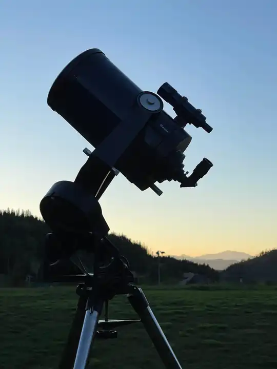
The same geography that makes the view also brings wind, snow, steep roads, blocked horizons and fast-changing weather. A pass that looks perfect at sunset can be a miserable telescope site an hour later if the wind starts pushing the tube around.
Check the road. Check the forecast. Bring more layers than you think you need.
Let the local hub take over
Once you are in Summit County, Frisco and Breckenridge make convenient bases. Frisco adds reservoir-side evening parks and seasonal camping; Breckenridge adds nearby guided astronomy. Farther south, Buena Vista does the same job for the Arkansas Valley. State Forest is a separate northern branch where Walden/North Park logistics matter more than Summit County.
That is how the regions are meant to work: overlap where the road network and geography overlap, then hand the trip to the town that is actually closest to the next night.