Colorado Trail Foundation
The Colorado Trail Foundation lists the San Luis Pass to Spring Creek Pass segment at 14.7 miles with 3,105 feet of elevation gain. It identifies the Gunnison and Divide ranger districts as the relevant Forest Service districts and lists Creede and Lake City as the nearest towns.[2]
What COTREX says about Willow Creek Trail
COTREX identifies Willow Creek Trail #881 as a dirt trail managed by the USFS Divide Ranger District. Its current trail record lists a 6.4-mile length and an elevation range of 11,157–12,337 feet. Hiking, bicycles and horses are allowed; motorcycles, ATVs, larger OHVs and highway vehicles are not.[3]
What the light-pollution map contributes
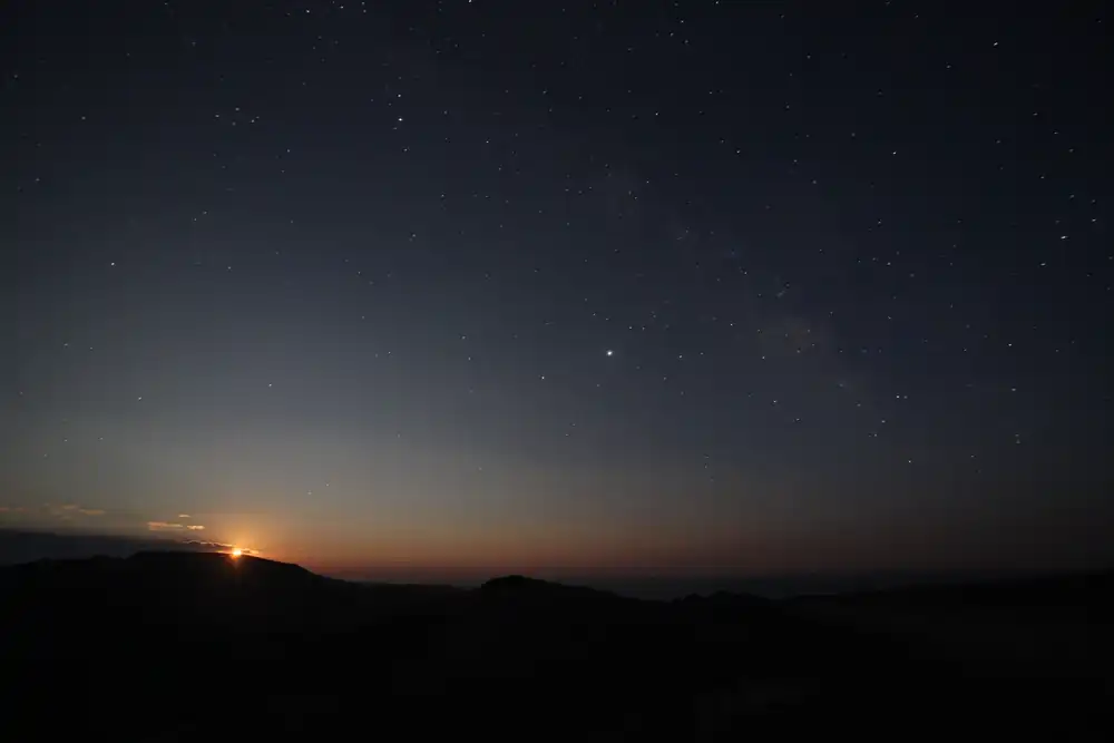
The supplied coordinate, 37.93819, -107.07829, is included because the Light Pollution Map layer supplied for this guide models an exceptionally dark zenith sky at the point, including a Bortle 1 classification and approximately SQM 22.00 mag/arcsec². That is a modeled darkness value, not an official campsite, trail-access or safety designation.[4]
What that means for a visitor
The direct trail sources make the key limitation clearer than generic stargazing copy: this is high-elevation, non-motorized trail country. A legal durable campsite and a safe route must be chosen from current Forest Service and trail guidance; the exact darkest map pixel should not be treated as a designated campsite or roadside telescope pad.[4]
Sources
- [1]
Photo: AstroTours.org
- [2]
Colorado Trail Foundation, Segments of the CT — coloradotrail.org/trail/segments-of-the-ct
- [3]
Colorado Trail Explorer, Willow Creek Trail #881 — trails.colorado.gov/trails/willow-creek-18503
- [4]
Light Pollution Map — lightpollutionmap.info
- [5]
- [6]