Colorado's north-south spine
The Front Range is the long corridor from Fort Collins through Boulder and Denver, then south through Colorado Springs and Pueblo to Trinidad. It works better as a connected travel region than as a Denver-centered circle.
That means the map should follow the roads and cities people actually use rather than pulling neighboring western and valley regions back toward Denver.
The easy first night
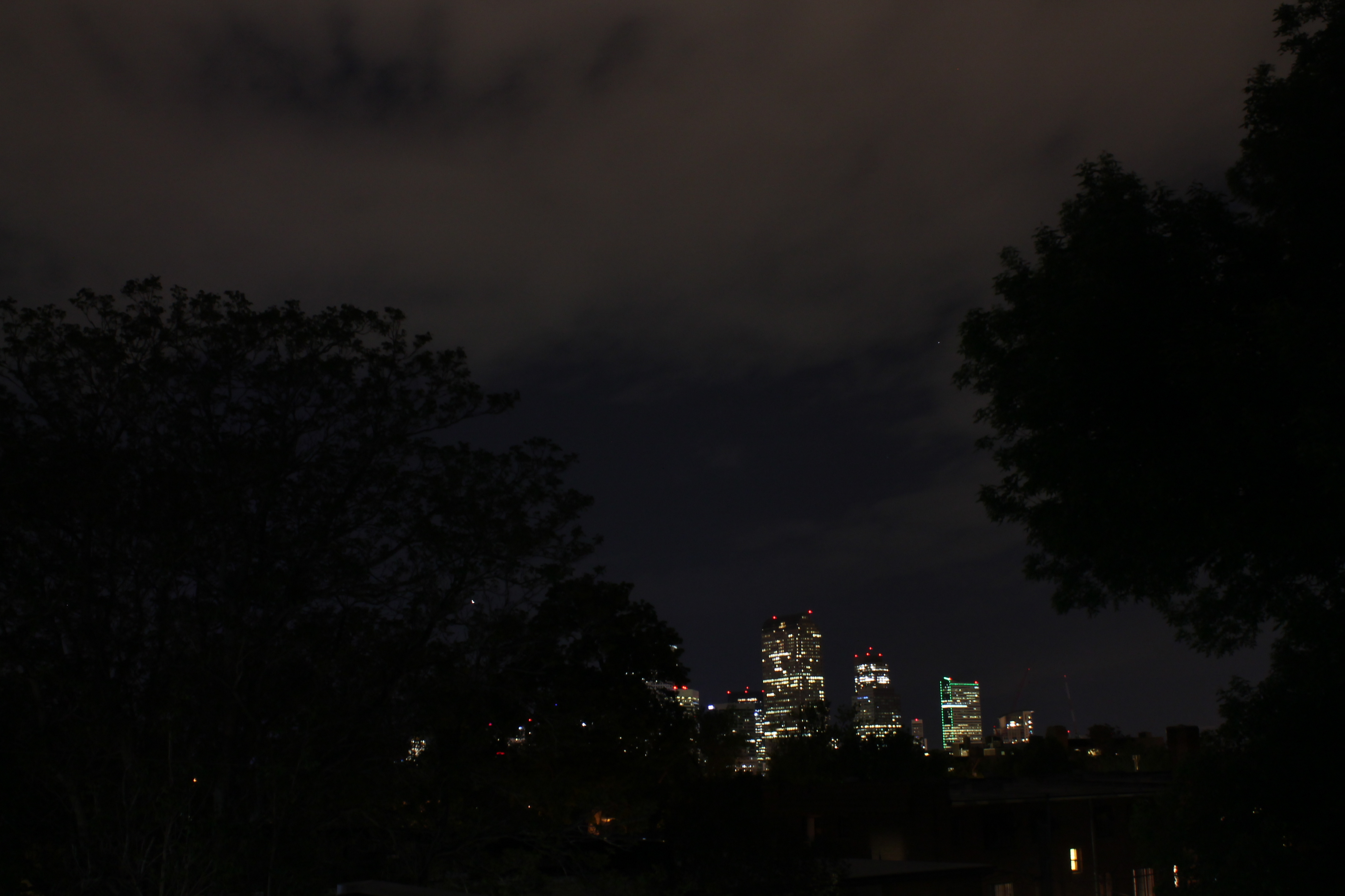
If you are new to Colorado stargazing, this is still the forgiving place to start. You can sleep in a city, find food and fuel late, join a telescope program, and watch the glow fall away on a relatively short drive.
It is also the strongest region for a daytime cosmic tune-up. Fort Collins Museum of Discovery has its OtterBox Digital Dome; Boulder has Fiske Planetarium; Denver has Space Odyssey and Gates Planetarium at DMNS plus Wings Over the Rockies; and Colorado Springs has Space Foundation Discovery Center. These blue-pin stops are deliberately separate from the night sites on the map.
One corridor, several exits
From Fort Collins, roads peel west toward the northern foothills and high country. Denver remains the central hinge. Colorado Springs and Pueblo carry the trip south through Pikes Peak country, and Trinidad closes the Front Range branch near the New Mexico line.
Go west from this corridor and the high-country or Western Slope regions take over. Go south-west from Pueblo and the San Luis Valley becomes its own region rather than an extension of Denver.
What you trade for convenience
You will see more skyglow here than in the remote corners of the state. In return you get paved roads, more lodging, more observatories, planetariums, museums and more people whose job is literally to point at the sky and explain what you are looking at.
That can be a very good trade on night one.