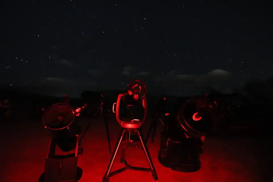
Route 4 branches east from Boulder
Route 1 uses Boulder as a Front Range gateway before turning west toward the high country. Route 4 takes the other direction.
Start in Boulder, then head onto Colorado's northeast plains for a route that is short enough to make sense as an actual trip rather than trying to connect the Front Range with every dark-sky destination in eastern Colorado.
The route
From Boulder, head east toward Jackson Lake State Park, continue toward Pawnee National Grassland, then finish at Madison-Macdonald Observatory at Colorado State University in Fort Collins when a public observing date lines up.
Boulder → Jackson Lake State Park → Pawnee National Grassland → Madison-Macdonald Observatory
Jackson Lake gives you an overnight base
Colorado Parks and Wildlife lists Jackson Lake as a Dark Sky certified park with year-round camping. The campground has more than 250 sites and requires reservations; the park also posts operating hours and current conditions separately from the camping reservation itself.[1][2]
That makes Jackson Lake useful early in the route because it can function as a legitimate overnight base rather than forcing a late drive after observing.[1][2]
Pawnee is the prairie leg
Pawnee National Grassland is managed by the U.S. Forest Service as part of the Arapaho and Roosevelt National Forests and Pawnee National Grassland. It is a broad public-land landscape, but public land is not the same thing as permission to stop anywhere you want after dark.[3]
Use the place page and current Forest Service information to choose a legitimate road, parking area or recreation site rather than treating an empty roadside as an observing site by default.[3]
Finish with a public observatory night
Colorado State University's current astronomy page lists public observing at Madison-Macdonald Observatory on the second and fourth Fridays of the month from April through November 2026, weather permitting. The events are listed as free and open to the public.[4]
That makes the observatory a schedule-dependent finish rather than a stop that should be assumed available every night.[4]
Why this route stays compact
This is intentionally not a grand tour of every dark-sky destination east of the mountains. John Martin Reservoir, Kim and Comanche National Grassland are worthwhile destinations, but tying them to Boulder and the northeast plains creates a different trip.
Route 4 stays compact enough to work as a weekend or short multi-night branch from the Front Range.
Build around weather and the observatory calendar
The plains can deliver huge horizons, but wind, thunderstorms and fast-moving weather can change a night quickly. If the CSU public night is the part you care about most, anchor the route around that date and move the self-guided stops to the clearest nights.