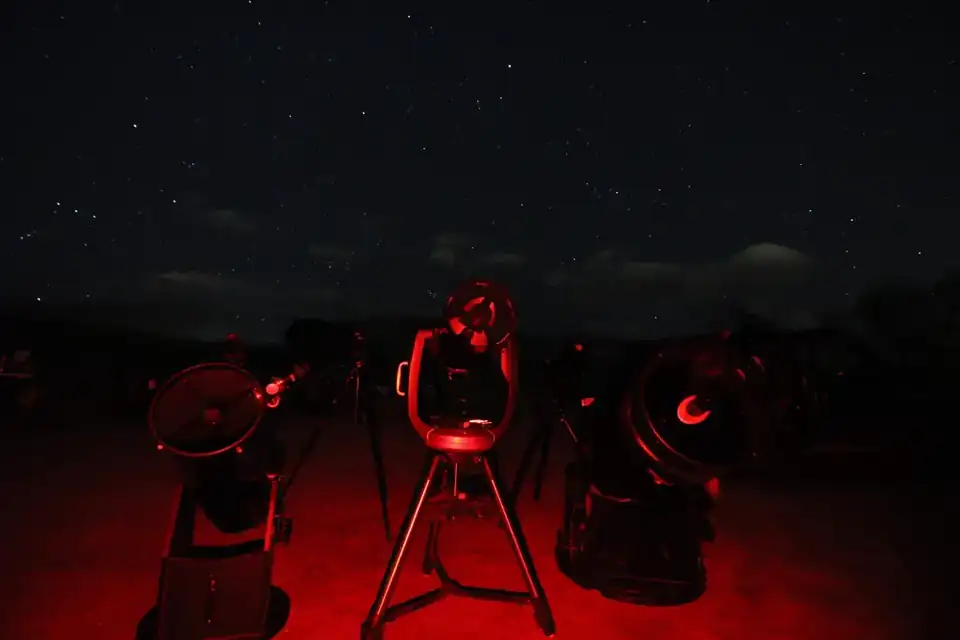
Route 2 begins where Route 1 leaves you
If you are following the trail in order, Breckenridge is the handoff. Route 1 climbs the I-70 corridor from the Front Range into the high country; Route 2 turns south from there and opens into a very different kind of Colorado night.
From Breckenridge, cross Hoosier Pass into South Park. Instead of staying inside narrow mountain valleys, the landscape suddenly opens into a broad high-country basin.
That makes this route a natural continuation of Route 1 rather than a separate Denver departure.
High country. Wide horizons.
The organizing idea here is simple: use the broad basins and valleys for bigger horizons rather than chasing the highest possible pullout. Darkness matters, but so do legal access, a stable place to stop and a horizon you can actually see.
The route is designed around ordinary public roads and established destinations. That does not mean every side road, campground road or pullout is suitable in every season.
The route
Start in Breckenridge, then take CO-9 south over Hoosier Pass into South Park. Continue toward Buena Vista and Browns Canyon National Monument, then follow the Arkansas Valley south toward Poncha Pass and Valley View Hot Springs.
Continue across the San Luis Valley to Great Sand Dunes National Park and Preserve, then leave the valley toward Westcliffe & Silver Cliff before returning toward Denver.
Breckenridge → South Park → Browns Canyon → Valley View Hot Springs → Great Sand Dunes → Westcliffe & Silver Cliff → Denver
Browns Canyon is a real dark-sky stop, not just a waypoint
Browns Canyon National Monument was recognized as an International Dark Sky Park in 2024. BLM's visitor information also makes an important road-planning distinction: recreation access includes unpaved roads, and some approaches or facilities are seasonal.[1][2]
That is why this guide treats Browns Canyon as a destination to plan before dark rather than a generic roadside pullout.[1][2]
Let the San Luis Valley breathe
Valley View and Great Sand Dunes should not feel like two boxes to check on the same evening. The valley is the reason to slow the route down.[3][4]
Great Sand Dunes is an International Dark Sky Park, and the National Park Service specifically identifies the dunes and nearby open areas as places to experience the night. The park is open 24 hours, but individual trails, facilities, campsites and conditions still have their own rules.[3][4]
Finish in Westcliffe
Westcliffe & Silver Cliff gives the route a strong final night rather than making the return toward Denver just a long drive home.[5][6]
DarkSky International lists Westcliffe and Silver Cliff as an International Dark Sky Community, designated in 2015. The local Dark Skies organization also operates public observing at Smokey Jack Observatory, with current programs posted separately from the designation itself.[5][6]
Build it around the clearest nights
This route works best as a multi-night continuation from Route 1. Do not force the stops into equal pieces just because they are drawn in an order.
If the San Luis Valley has the best forecast, stay there longer. If clouds are building over the Sangres but Westcliffe is clear, move the final night forward. The route is a framework; the sky still gets the final vote.
Before ignition
Check current access for every stop, especially after dark. Use the individual stop pages for gates, camping and site-specific rules, and use COtrip for the live road picture before crossing the high country.[7]
Sources
- [1]
- [2]
Bureau of Land Management — Browns Canyon recognized as an International Dark Sky Park
- [3]
National Park Service — Great Sand Dunes: Experience the Night
- [4]
National Park Service — Great Sand Dunes National Park and Preserve
- [5]
DarkSky International — Westcliffe and Silver Cliff Dark Sky Community
- [6]
Dark Skies of the Wet Mountain Valley — Smokey Jack Observatory and public programs
- [7]